Geological Metaverse
An immersive geospatial learning platform that transforms real-world terrain, geological data, and landslide events into interactive 3D experiences across VR and desktop environments.
Project at a Glance
- Industry
- GIS & Geospatial Intelligence
- Education & Research
- Disaster Risk & Geohazards
- Services
- Geospatial Visualization & 3D Terrain Modeling
- GIS Data Integration
- Interactive VR & Simulation Development
Real-World Terrain
Georeferenced 3D from Real Elevation Data
VR + PC
Two Modes, One Application
Documented Events
Two Historical Landslides Replayed
Key Features
Explore how geospatial data, geological evidence, and immersive technology combine to make complex terrain and natural hazards easier to understand.
Georeferenced 3D Terrain
Build 3D terrain from geographic coordinates and import digital elevation models from QGIS or ArcGIS. The platform connects spatial data with immersive visualization, allowing learners to explore real landscapes in three dimensions.
Key capabilities
- Coordinate-based terrain generation
- Digital elevation model (DEM) import
- WGS84 coordinate-to-3D mapping
- Geographic placement of sensors and gauges
Problems we solve
The operational hurdles that stood between the business and its goals.
Real-world landslide sites can be hazardous, expensive to access, and dependent on weather and site conditions.
Our SolutionVirtual Geological Fieldwork
Provide an accessible, repeatable virtual field site where learners can explore terrain and observe simulated slope failures without visiting an active hazard location.
Solutions built for Geospatial
- EdTech
- AR/VR
Related Projects
Explore related work across geospatial intelligence, immersive simulation, and data-driven visualization.
View All Projects- AgriTech
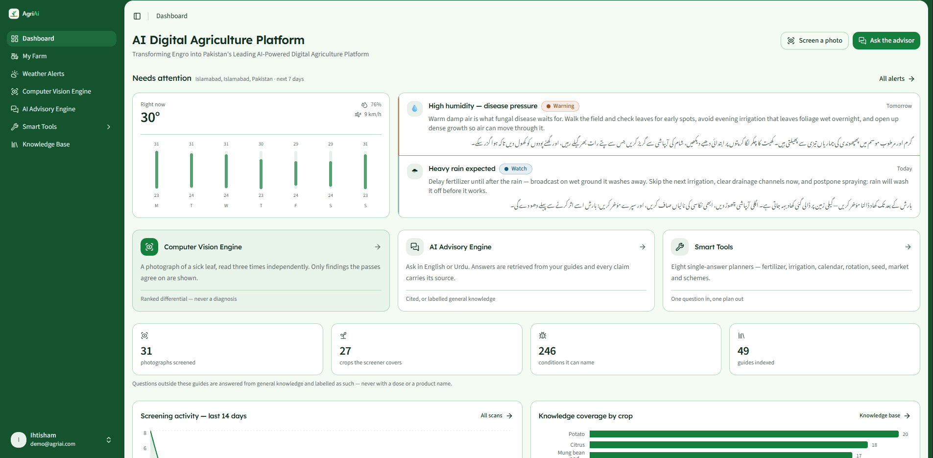
AI-Powered Digital Agriculture Platform
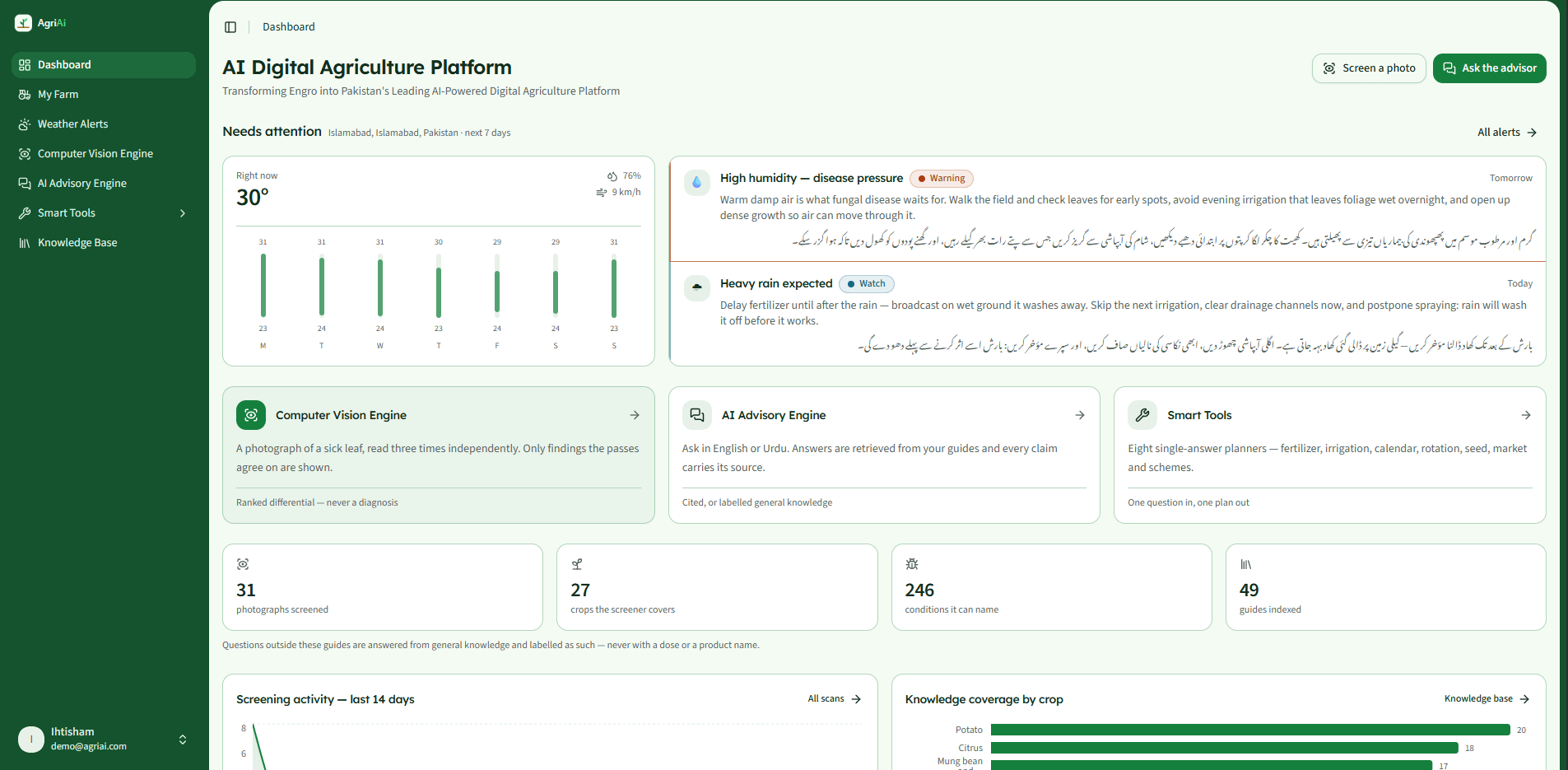
A platform concept uniting agronomy advisory, crop diagnostics, and satellite analytics
- Supply Chain
- AgriTech
- AI
- Healthcare
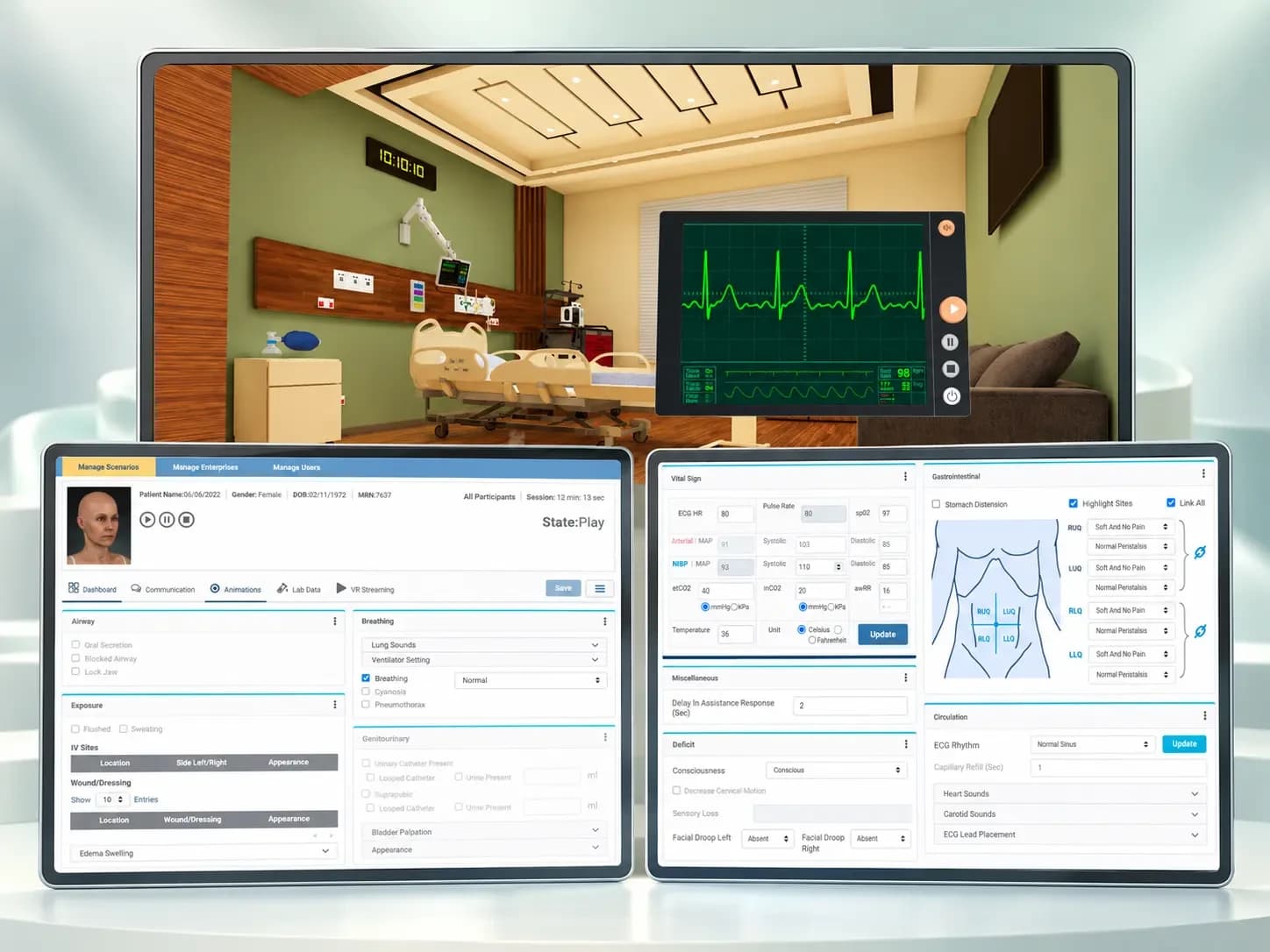
MedSim VR Medical Simulation & Training Platform
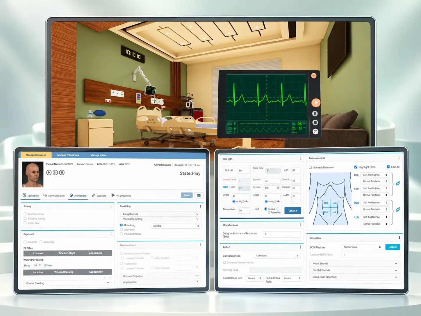
A VR medical simulation & training platform
- EdTech
- AR/VR
- Artificial Intelligence
SentinelGrid Sovereign Perimeter Intelligence
AI Surveillance & Threat Detection
- AI
- IoT
- Business Intelligence
Technology Stack
A modern, scalable technology stack built for performance, security and long-term growth.
- UnUnity 6
- C#
- UnUniversal Render Pipeline (URP)
 OpenXR
- XRXR Interaction Toolkit
- UnUnity Input System
- CiCinemachine
- ViVisual Effect Graph
- AWAWS Terrain Tiles
- SRSRTM Elevation Data
- QGQGIS / ArcGIS DEM Import
- ESESRI ASCII Grid
- WGWGS84 Georeferencing
Measurable results, delivered
Geospatial insights. Experienced in 3D. Geological Metaverse connects real-world terrain, geological evidence, and interactive landslide simulations to create a more engaging approach to geospatial learning and hazard visualization.
Real-World Terrain
Generate georeferenced 3D terrain using real elevation data, with source terrain detail reported at approximately 10–40 metres.
Next-Phase Opportunities
Satellite and drone imagery overlays, geological and hazard-map layers, live monitoring feeds, and globe-scale streaming are identified as future enhancements rather than completed capabilities.
Let's build what
runs your future
Tell us where you are. We reply within one business day with an engineering point of view.Tell us where you are — an idea, a platform under pressure, or an operation ready to scale. We come back within one business day with an engineering point of view, not a sales script.