SentinelGrid — Sovereign Perimeter Intelligence
AI Surveillance & Threat Detection
Project at a Glance
- Industry
- Industrial IoT, Automation & Connected Operations
- Services
- Artificial Intelligence & Automation
- Robotics, IoT & Computer Vision
- GIS, Geospatial AI & Satellite Analytics
- Region
Pakistan
Unified Intelligence
Cameras, Maps & Incidents in One View
Pakistan
Client Region
Sovereign Deployment
On-Premises & Air-Gapped
Key Features
Discover how AI, computer vision, and geospatial intelligence work together to improve situational awareness, strengthen monitoring, and support faster operational decisions.
Intelligent Video Analytics
Apply a multi-stage computer vision pipeline to identify relevant activity, track detections, and filter nuisance alerts. The proposed verification workflow incorporates site-specific data and physical plausibility checks to improve the reliability of alerts in real operating conditions.
Key capabilities
- AI-assisted person and vehicle detection
- Multi-stage detection verification
- Object tracking and physical plausibility checks
- Site-specific model tuning and verification
Problems we solve
The operational hurdles that stood between the business and its goals.
Large camera networks generate more visual information than operators can consistently assess manually, especially during extended monitoring periods.
Our SolutionAI-Assisted Video Analytics
Apply automated detection, tracking, and verification to help operators focus on relevant activity rather than continuously reviewing every feed.
Solutions built for Artificial Intelligence
- AI
- IoT
- Business Intelligence
Related Projects
Explore related work across artificial intelligence, geospatial platforms, and secure digital operations.
View All Projects- Geospatial
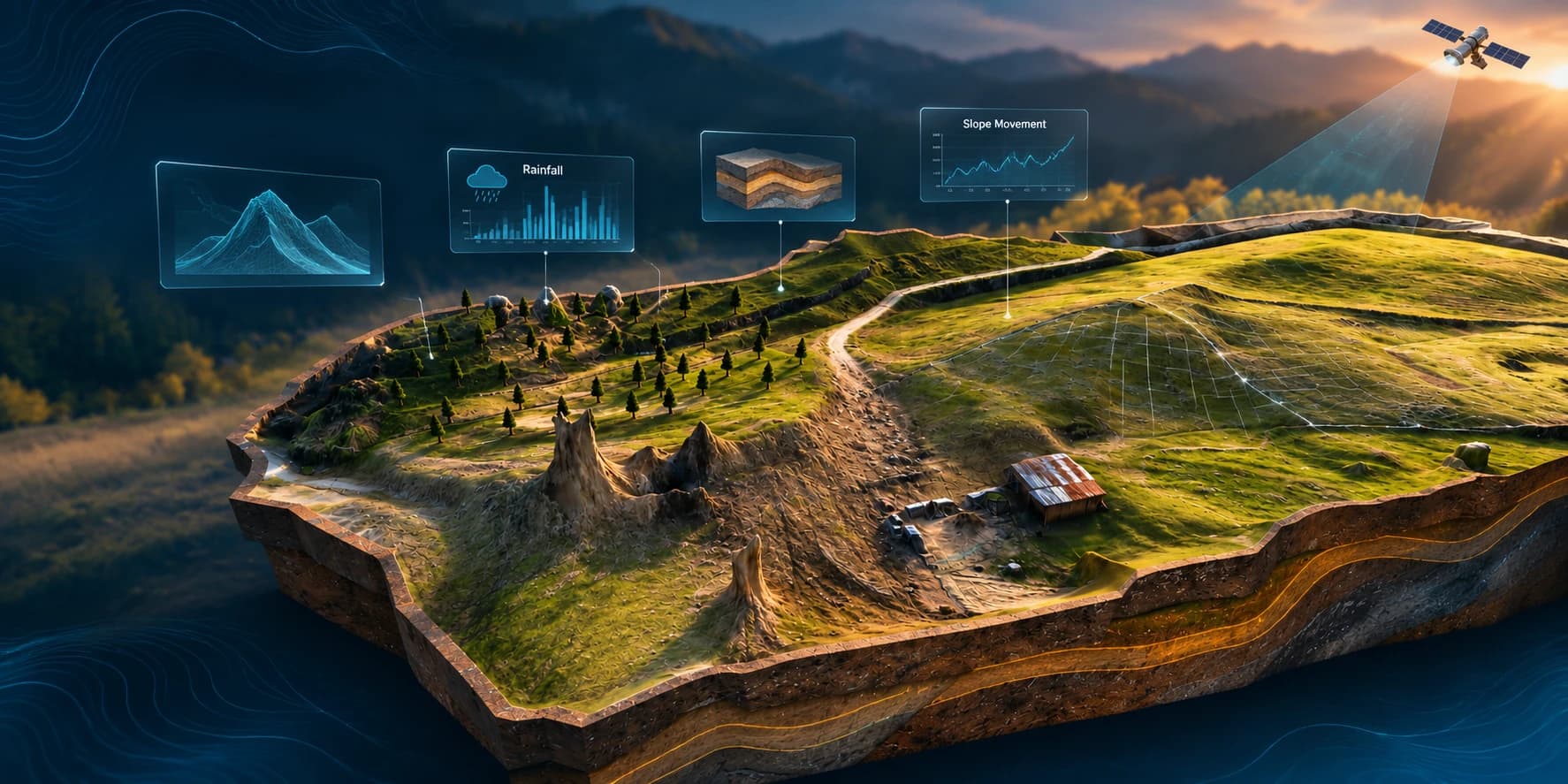
Geological Metaverse
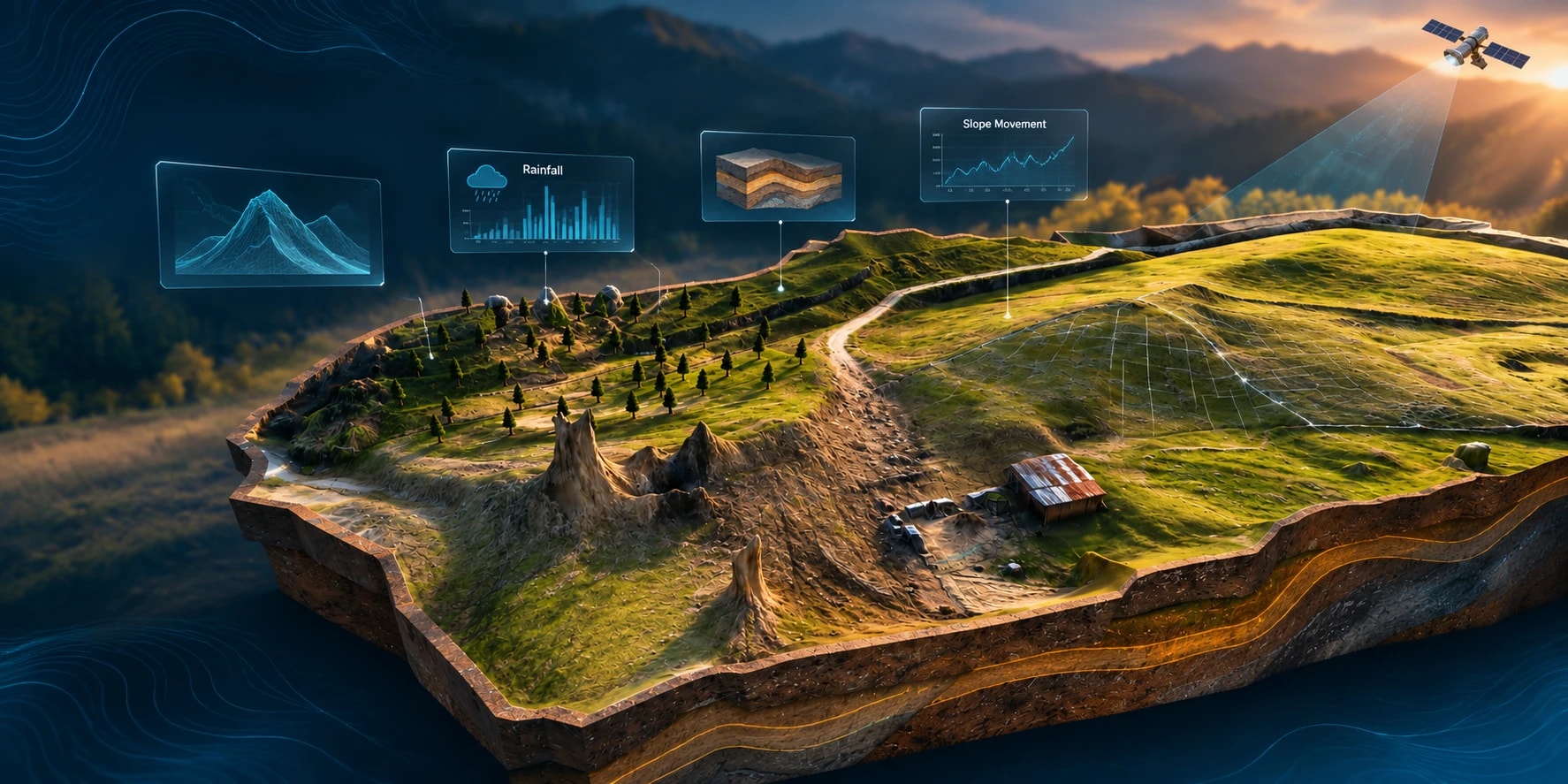
An immersive geospatial learning platform that transforms real-world terrain, geological data, and landslide events into interactive 3D experiences across VR and desktop environments.
- EdTech
- AR/VR
- IoT
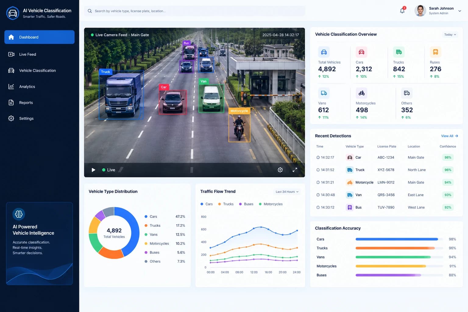
AI Vehicle Classification
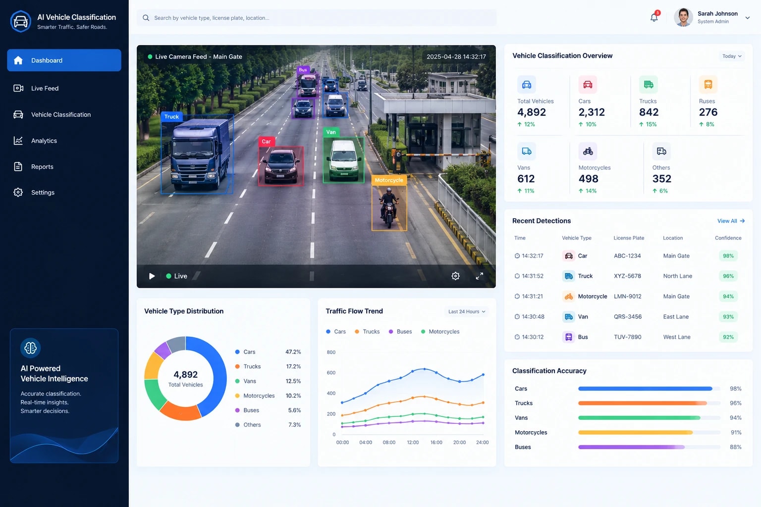
Real-time vehicle classification from standard IP cameras
- AI
- IoT
- AgriTech
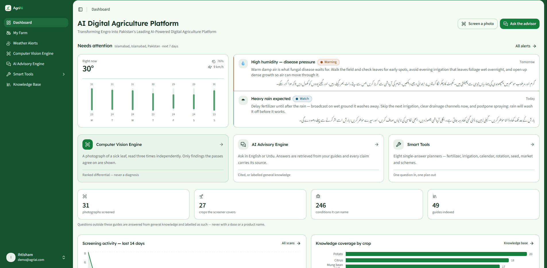
AI-Powered Digital Agriculture Platform
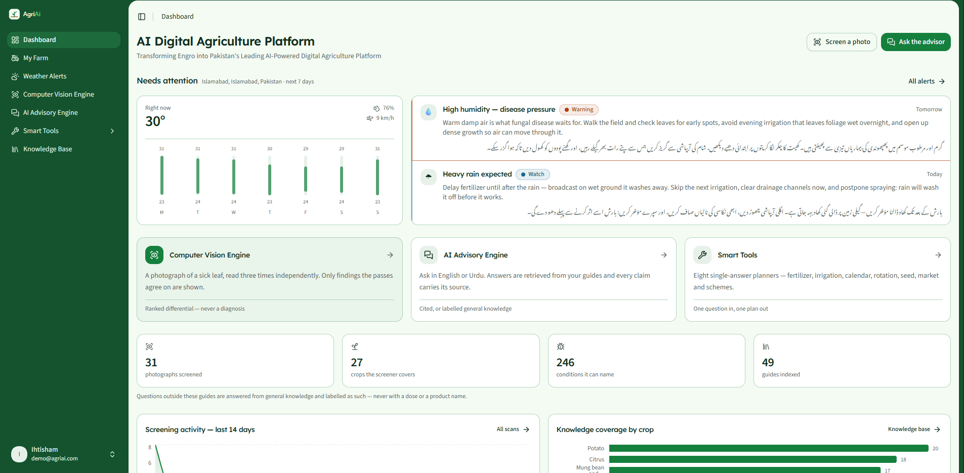
A platform concept uniting agronomy advisory, crop diagnostics, and satellite analytics
- Supply Chain
- AgriTech
- AI
Technology Stack
A modern, scalable technology stack built for performance, security and long-term growth.
- ObObject Detection
- MuMulti-Stage Verification
- ObObject Tracking
- CaCamera Calibration
- TeTerrain & Building Visibility Analysis
- LoLocally Hosted Map Services
- GPGPU-Accelerated Analytics
- CoContainerized Services
- RoRole-Based Access Control
- TaTamper-Evident Audit Logging
- SiSigned Offline Updates
Measurable results, delivered
Greater visibility. More trustworthy alerts. SentinelGrid is designed to connect video intelligence, geospatial context, and auditable operational workflows while keeping sensitive data under the organization's control.
Unified Operational Visibility
Bring camera feeds, mapped incidents, terrain, building information, and field-unit positions into a single operational view.
Development Status
The project overview documents an existing offline operator-interface prototype reviewed by an intended end-user team, alongside a multi-camera detection pipeline that has produced measured field data. Full integration of coverage certification, site-trained verification, cross-camera corroboration, and the complete operational workflow remains subject to further development and validation.
Engineering Validation Targets
The proposal defines the following goals for future validation:
- Detection performance
- ≥ 95%real crossings detectedAt least 95% detection of real crossings within certified camera ranges in daylight and illuminated night conditions, and at least 90% in adverse weather.
- High-priority false alarms
- ≤ 0.1per camera, per dayNo more than 0.1 per camera per day over a 14-day evaluation period.
- Alert delivery
- ≤ 2 sat the 95th percentileWithin two seconds at the 95th percentile, with a target position error of no more than five metres at 100 metres.
- Coverage assessment
- 100%of pilot-area cameras mappedCertification and mapping of all cameras within the designated pilot and validation areas.
Turn Security Data Into Actionable Intelligence
Funavry builds intelligent, secure technology platforms that connect computer vision, geospatial data, and operational workflows. Let's explore how AI-powered monitoring can support your organization's security and infrastructure requirements.
Let's build what
runs your future
Tell us where you are. We reply within one business day with an engineering point of view.Tell us where you are — an idea, a platform under pressure, or an operation ready to scale. We come back within one business day with an engineering point of view, not a sales script.